Does the current maritime spatial plan take sufficient account of valuable marine nature?
The current second round of maritime spatial planning will allow for a review of marine themes and sectors and thus an update of the map markings in the maritime spatial plan. Knowledge of the needs of marine sectors and of the marine environment and nature has increased since the previous plan. How can this new knowledge be taken into account while contributing to national and international commitments? This was the subject of a joint workshop between maritime spatial planners from the coastal regional councils and experts on marine nature.
The aim of maritime spatial planning is to promote good environmental status of the marine environment. This is supported by an ecosystem-based approach and nature-inclusive design. But what does this mean in practice and how can maritime spatial planning respond to the international and national agreements and strategies that bind us?
The Maritime Spatial Planning Coordination Group organised a workshop on Maritime Spatial Planning and Marine Nature on 10.4.2024 in Helsinki. Penina Blankett from the Ministry of Environment reminded the maritime spatial planners of the international and national commitments that Finland has accepted. These include the Kunming-Montreal Global Biodiversity Framework and the Convention on the Conservation of Migratory Species of Wild Animals. The EU Biodiversity Strategy aims to halt the loss of biodiversity and reverse biodiversity loss by 2030. These and many other commitments and targets impose direct and indirect obligations on maritime spatial planning.
Attention to sub-surface and above surface nature values
Among the ongoing projects of relevance to maritime spatial planning, Cecilia Nyman from HELCOM presented the Protect Baltic project and Sanni Turunen from Parks & Wildlife Finland presented the Biodiversea Life IP project. These projects contribute, among other things, to the objectives of the Biodiversity Strategy 2030, although on a different scale. The first focuses on the entire Baltic Sea region and the second on Finland’s marine areas. The projects will provide information on ecosystem services and connectivity, among other things, and will support the identification of potential new nature conservation areas. The Biodiversea project will also look at restoration in marine areas. Both projects will provide important information for maritime spatial planning. Closer cooperation and a timeline of activities will be important to ensure that the processes support each other in the best possible way.
Consideration of migratory wildlife in maritime spatial planning was one of the themes raised by participants. Eeva-Maria Tidenberg from Luomus (University of Helsinki) informed the maritime planners about the current state of knowledge on migratory bats and the coastal and marine areas they use. The Nathusius’ pipistrelle and some other bats are known to use marine areas for their migratory movements, especially in autumn. The Bay of Bothnia, the Åland archipelago and the Archipelago Sea are areas where migration has been documented. Despite the lack of research data, it is clear that migratory bats use marine and coastal areas. There is a great need for further research, as all bats are protected under Article IV of the Habitats Directive and the effects of offshore wind farms on bat behaviour in marine areas, for example, are not well understood.
Maritime spatial planning has so far done a commendable job on ecosystem services and important natural values. Elina Virtanen from the Finnish Environment Institute recalled the background and starting points of the studies and outlined the future of marine areas in a changing climate.
A new kind of map marking to support the nature theme?
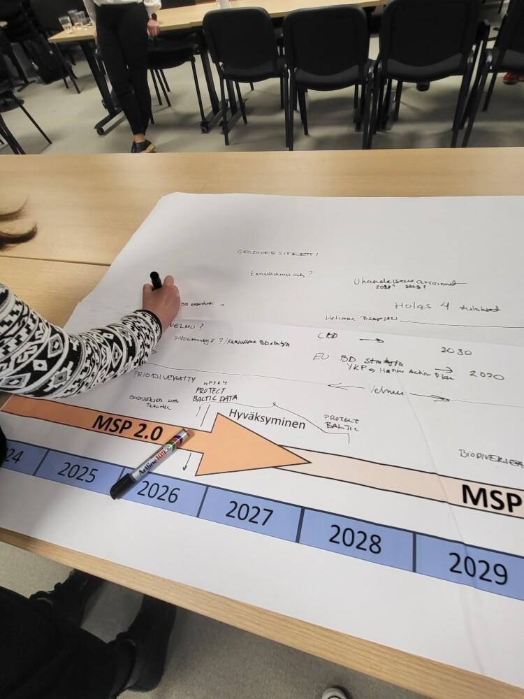
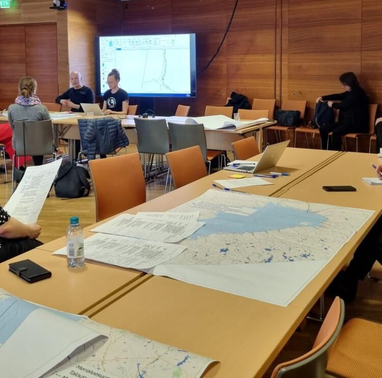
The MSP experts came together to reflect on the information gathered during the previous day’s workshop and its implications for the maritime spatial plan. The day had been prepared since the beginning of the year, as the topic had been covered online on two occasions in the spring. This time, the new information was reflected in comparicion to the maritime spatial plan’s map markings and the associated marking cards. The planning cooperation was made possible by the Interreg Baltic Sea2Land project, whose national pilot is exploring the possibility of creating a blue-green infrastructure for the updated maritime spatial plan. The aim of the project is to promote the sustainable use of the coast, by strengthening multi-level governance. This objective was supported during the previous day through discussions and work with research institutes and representatives of marine nature and protection from state authorities. Enhanced co-operation is also at the heart of the Ministry of Environment’s new coastal strategy and a key component in promoting good marine environmental status and sustainable use of the coast.
It was interesting to reflect on the blue-green network at national level. Kymenlaakso was one of the first regions to have blue-green connections in its regional plan. We are currently assessing the timeliness of the regional plan, which also includes an assessment of the timeliness of the need for blue-green connections in the regional plan together with stakeholders. The Regional Council has strong expertise in this area and we can now make use of this experience when a similar marking at national level is under consideration,” says Kaisa Leino, environmental planner of the Kymenlaakso Regional Council.
In 2013, the European Commission launched the Green Infrastructure Strategy. The definition of green infrastructure is a strategically planned network of natural and semi-natural areas and other environmental features that are designed and managed to provide a range of ecosystem services. The strategy recognises that in the marine environment, GI can contribute to the practical implementation of existing maritime spatial planning and integrated coastal zone management strategies. This applies in particular to strategies for the sustainable use and management of coastal areas and the strengthening of coastal defences. Making green infrastructure visible in the maritime spatial plans could therefore greatly support the implementation of the renewed coastal strategy.
Finland’s current maritime spatial plan contains two nature-themed map markings: ecological connections and significant underwater natural values. The map markings are accompanied by a marking card that describes in more detail, among other things, the content of the marking and the planning principle. The library of marking cards can be accessed here. The planners evaluated the impact of the previous day’s content and new material on the nature-related markings and their descriptions in the updated MSP. They also considered the possibility of introducing a new blue-green infrastructure marking in the plan and considered its impact on existing markings and their content.
The assessment of the timeliness of the Kymenlaakso Regional Council’s blue-green network designation from the stakeholders’ perspective provides direct input for national work. Based on the feedback we have received, it would be of paramount importance that attention is paid to the continuity and network of designations when creating a new type of marking in the national maritime spatial plan, so that the maritime spatial plan is as clear as possible in its content. As the maritime spatial plan is strategic, it enables different planning solutions than the regional plan, and this opportunity should be seized,” says Kaisa Leino.
The exercise proved valuable as it allowed planners to critically review existing markings and to refine and refocus them to make the map section of the maritime spatial plan clearer and more indicative. Promoting good environmental status in the marine environment, including by managing marine activities in a way that takes the marine environment into account, is a key objective of maritime spatial planning, and the question now is whether the strategic map marking can fulfil this objective or whether we need a new type of marking to support it.