New Baltic Sea2Land project promises better administration in regions on the Baltic coast by strengthening collaboration between planning levels
The land and sea interface is complex and characterised by overlapping responsibilities among the authorities. Reconciling different interests requires multi-level administration between the authorities to achieve the objectives of the European Green Deal and support a sustainable blue economy. Finland’s maritime spatial planning personnel have joined the new project to spearhead the simultaneous implementation of the coastal strategy and maritime spatial planning.
The Interreg Baltic Sea2Land project held its kick-off event on the last days of February in a wintry Riga. The project partners convened in the historic old town at Latvia’s Ministry of Environmental Protection and Regional Development. This was a natural venue for the kick-off meeting, as the ministry is the project leader.
The revisions to the Interreg programme have led to a major shift in the focus of projects towards resolving challenges, implementing solutions and transferring these solutions to the regional authorities and municipalities. Solution-Piloting-Implementation is the programme’s ethos. In the view of the Baltic Sea2Land project partners, a common challenge is the imbalance between human and natural capital on the coast, the overall management of it, and the consideration to be paid between different decision-making levels and the interests of blue growth. The project aims to create a tool based on ArcGIS (Sea2Land Navigator) to make it easier for planners to address regional challenges with stakeholders. To optimise the work with stakeholders, it will be promoted and monitored with the Multi-Level Governance Agenda. The MLGA approach was created in the earlier Land-Sea-Act project, the results of which are available here. Many of the project partners have already met, having worked together on the Land-Sea-Act project.
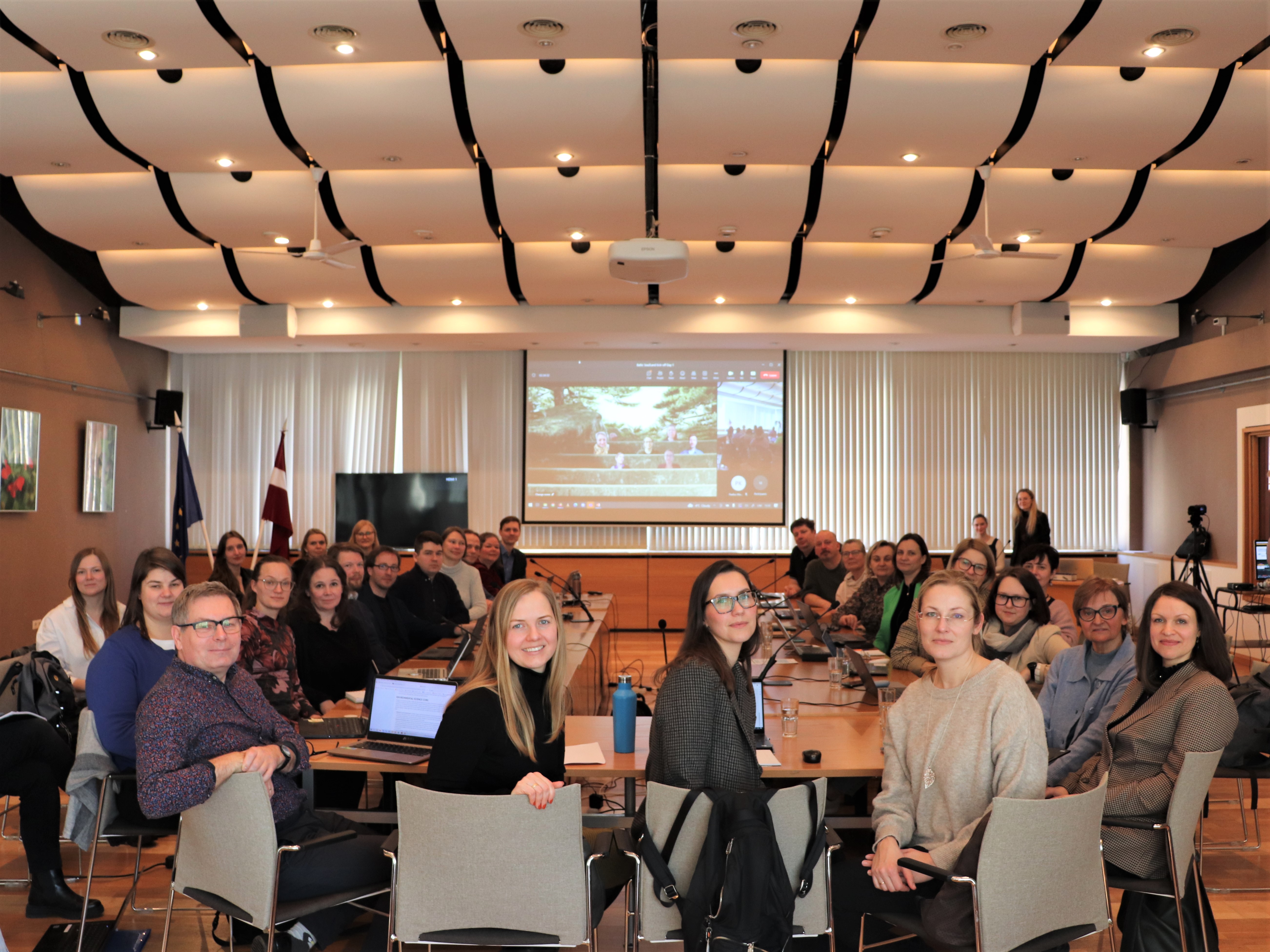
The project kick-off meeting gathered almost 40 participants. Picture: MoEPRD
Six countries from the Baltic Sea region are participating in the project. There are 13 project partners and 6 associated partners. The partners consist of the international actors in the Baltic Sea region, ministries, regional planning authorities, representatives of cities, and NGOs. When a project is undertaken on a participatory basis with entities on different levels, the solutions created in the project will work at different planning levels.
Almost all the project partners were able to present the contents of their work packages at the kick-off event. The most fruitful part of the day was the small-scale group work, in which participants worked on their pilot studies and the common and individual needs for using the Navigator.
“The participants have a very wide range of challenges to tackle, naturally on quite different scales. Some of them are working on areas measuring several hundred kilometres, while others are focused on the municipal level. However, everyone has a common interest in promoting a sustainable blue economy while ensuring the inclusion and commitment of stakeholders to the plans,” says Roosa Mikkola, who coordinates the project in Finland.
Many participants were concerned about the global political environment and the consequent pressure for energy self-sufficiency. Where should wind turbines be built? How will they affect other local industries? Can the energy be used locally?
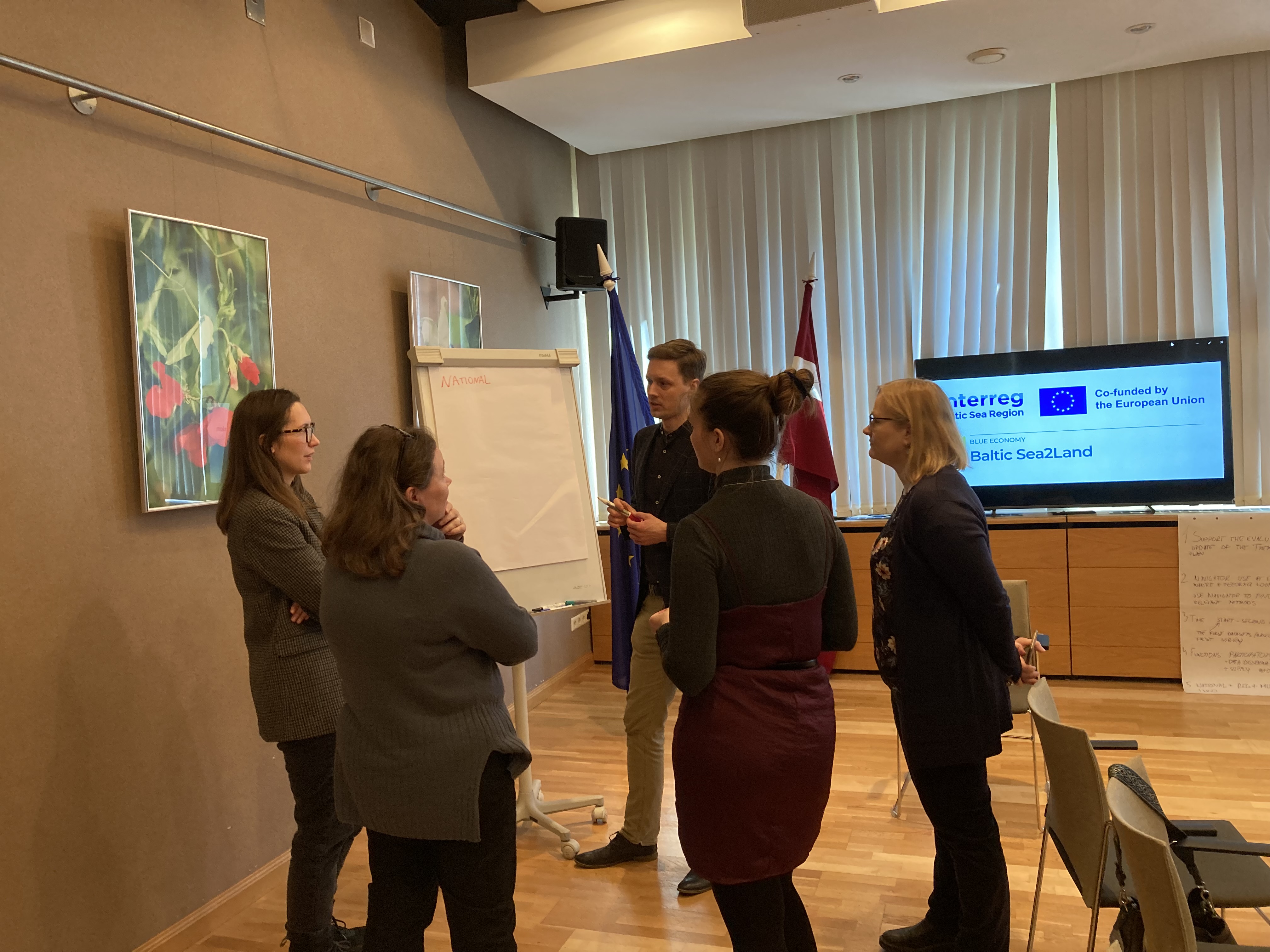 The national, regional and local pilots were discussed in smaller groups. Picture: Dace Strigune
The project partners from Finland aim to accelerate the implementation of the soon-to-be launched updated coastal strategy, together with the existing Finnish Maritime Spatial Plan 2030. At the same time, the MLGA approach created in the project can also enable the monitoring and evaluation of implementations in specific regions in the form of pilot projects. The coastal strategy seeks to promote the sustainable use of the coast and respond to the threats of biodiversity loss, climate change and pollution. The coastal strategy guides and instructs coastal development and planning. Finland’s first coastal strategy was published in 2006. In the autumn of 2022, it was revised in extensive cooperation with stakeholders. The sector-specific visions and roadmaps in the maritime spatial plan and the studies of land-sea interactions were crucial starting points for the coastal strategy work. The project will make the coastal strategy and its measures a natural part of the maritime spatial planning process.
“The coastal strategy, which will be completed in the spring, will be a visually and verbally clear package of guiding measures describing the future needs of different sectors and how these needs can be addressed through maritime spatial planning. The Baltic Sea2Land project will take us directly to the implementation of the measures included in the coastal strategy, which will accelerate the regional and national implementation of the strategy,” says Roosa Mikkola.
The next project meeting will be held in Finland in the autumn. In the meantime, the project partners conducting pilot projects will be provided with tailor-made models for stakeholder cooperation so that they can pilot the tool created in the project this autumn. One national pilot project is planned in Finland, along with several regional ones.
The project involves the following regional councils along Finland’s coast: the Regional Council of Lapland, the Council of the Oulu Region, the Regional Council of Ostrobothnia, the Regional Council of Southwest Finland and the Regional Council of Kymenlaakso. The Ministry of the Environment is also involved in the project.
The Baltic Sea2Land project will run from 2023 to 2025 and is funded by the Interreg Baltic Sea Region.
![]()